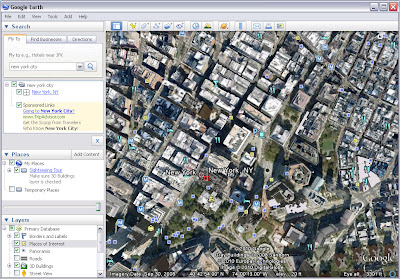
Google Earth is a virtual globe, map and geographical information program that was originally called EarthViewer 3D, and was created by Keyhole,Inc.It maps the Earth by the superimposition of images obtained from satellite imagery, aerial photography and GIS 3D globe.
 |
| Google Earth 6.2.1 |
Point and zoom to anyplace on the planet that you want to explore.
Google Earth can be used to view areas subjected to widespread disasters if Google supplies up-to-date images. The idea is simple.